
Our Dynamic Coastline
Recent winter storms have brought the issues of sea level rise, storm surge and coastal flooding and erosion to our immediate attention here on the Corea Peninsula. These storms, particularly on January 10 and 13, caused extensive damage across the coastal zone of Gouldsboro, with damage to docks in Corea Harbor, boats grounded in Prospect Harbor, and road sections torn up or flooded at Crowley Island Road and Corea Road (State route 195) at Sand Cove. Our residents have reported unusually high seawater flooding, and subsequent erosion, on the properties along Paul Bunyan Road fronting Gouldsboro Bay.
Evidence shows that our climate is changing. Sea levels are rising and storm surges are becoming more severe. In addition, there are indications that the dominance of Noreasters in the winter may be changing, with more frequent storms expected from the southeast. Corea by the Sea residents can be understandably curious about how these changes might affect them and what we can, as a community, do about it.
Health and safety are top priorities for the Paul Bunyan Road Association (PBRA); in particular ensuring that local residents will be able to evacuate in a storm flooding emergency and continue with basic services, like the delivery of home heating fuel. Road conditions, now and in the future, have, therefore, been our first focus. Two locations are of strategic concern: the intersection of Grand Marsh Bay Road and Corea Road (Maine state route 195) at Sand Cove, and the low, private section of Grand Marsh Bay Road at the culvert where Grand Marsh Bay and the Corea Heath beaver pond meet. Both of these areas have been identified as “highest priority” in the 2022 Vulnerability Assessment and Action Plan for the Town of Gouldsboro done by FB Environmental Associates.
The Sand Cove intersection on State Route 195 was especially hard hit by the January 10 storm from the southeast (see photo). Its dune system was flattened by wave run-up from a southeasterly storm and likely plugged the culverts running beneath the roadway. This may cause problems if freshwater runoff from northwest of the intersection gets blocked. This road was temporarily flooded but passable. This intersection is of strategic importance, as no one will be able to get into or out of Corea Peninsula by land if it is blocked.
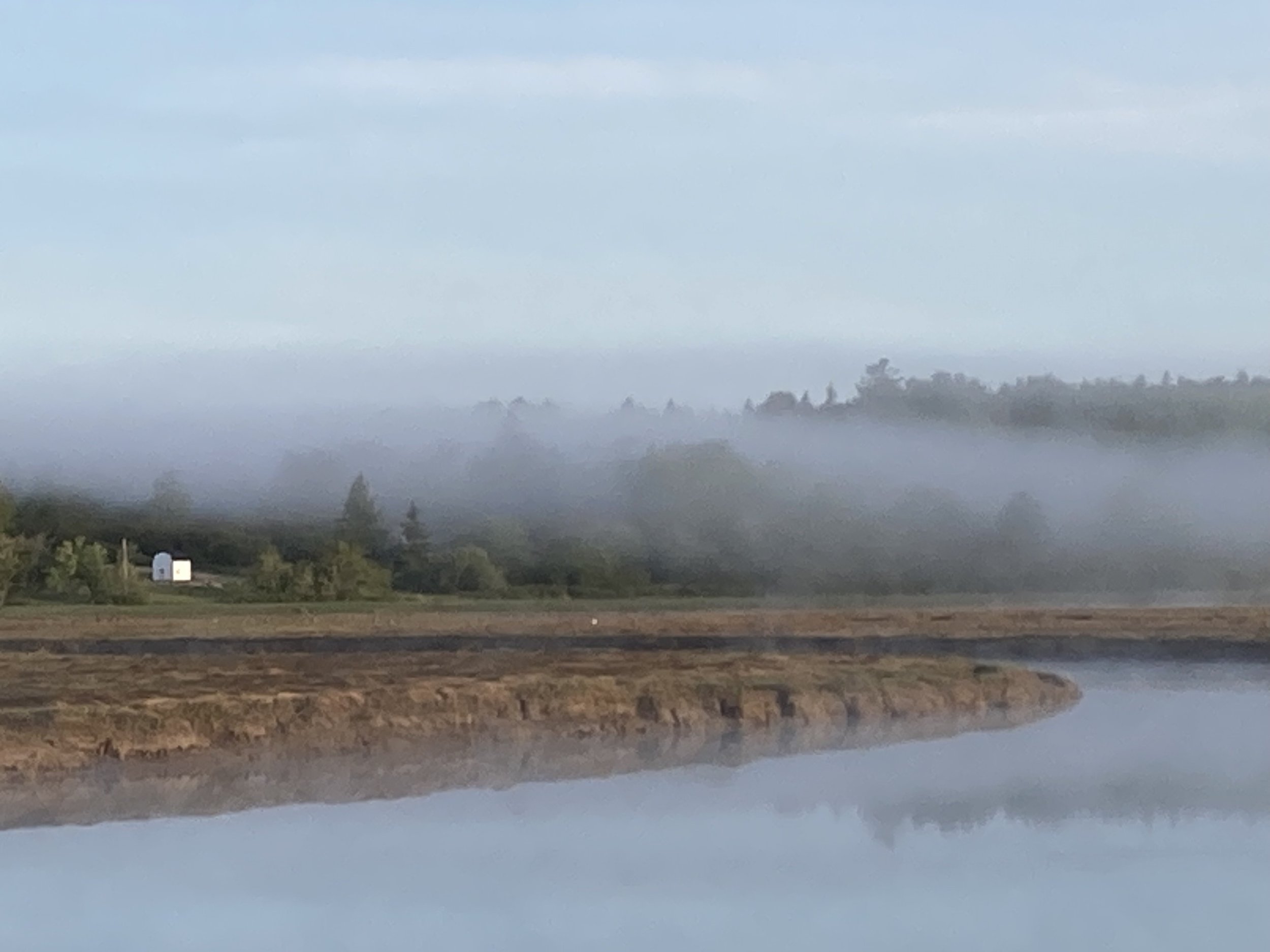
The culvert area of Grand Marsh Bay Road has also been buffeted by storms, with freshwater overflow from the beaver pond the current concern and the cause of a partial washout of this gravel section in March.
The Maine Governor’s office publication “Maine Won’t Wait” recommends planning to manage for a 1.5 foot sea level rise by 2050, and a 3.9 foot sea level rise by 2100. For the purposes of flood planning, this does not include the added threat of storm surges or runoff from heavy rainfall, however. The Maine Geologic Survey projections of a sea level rise of 3.9 feet above Highest Astronomical Tide (HAT) shows both of these critical road sections underwater. The Grand Marsh Bay Road section is more vulnerable still, and parts will be underwater with just a 1.6 foot rise in sea level.
The Town of Gouldsboro’s Select Board is working to address the short and long term impacts of these changing marine conditions and has formed a citizen’s committee, the Coastal Resilience Committee (CRC), as part of Governor Mills’ Community Resilience Partnership program. This committee is submitting grant proposals to the Department of Marine Resources’ Maine Coastal Program and Municipal Planning Assistance Program, FY 2025 Coastal Community Grant/Shore and Harbor Planning Grant Programs and to the Governor’s Community Resilience Partnership Community Action Grant program. These programs could fund a professional engineering and environmental planning assessment of options to eliminate or alleviate the impacts of these four marine threats: sea level rise, storm surge, flooding and coastal erosion.
The DMR proposal will look at public infrastructure in the three harbors of South Gouldsboro, Prospect Harbor and Bunkers Harbor. The Community Assistance Grant proposed work will examine road change options at Crowley Island Road and the intersection of Corea Road and Cranberry Point Road in Corea Harbor. Both initiatives will include a significant effort to include public comment throughout and we will keep Corea by the Sea residents informed of these opportunities to have your voices heard. A previous grant application to the Maine Department of Transportation for an engineering study of the Sand Cove intersection was not successful, but this intersection remains a priority for the CRC.
The PBRA board will continue to collaborate with the Coastal Resilience Committee and our immediate neighbors to come up with solutions to the threats to these vital access ways. We will also look ahead and consider broader coastal resilience issues for our physical, social and environmental resources using the four Rs of coastal resilience mitigation based on the Maine Coastal Program’s Flooding Resilience Checklist: Resist, Retrofit, Retreat, and Recover.
The Storms of January 2024

Crowley Island Causeway, 01-10-24 (Brett Ciccotelli)

Maine Geological Survey map showing sea level rise of 3.9 feet at Sand Cove and Grand Marsh

Corea Road (State Route 195) at Sand Cove, 01-10-24 (Bob DeForrest)

Proposed Community Action Grant study area at Corea Harbor (Bill Zoellick)
For those who wish to learn more, here is a list of resources to check:
Town of Gouldsboro Provides information on permits and funding for rebuilding damaged waterfront
Gouldsboro Shore A collection of projects and volunteer activities that address and prepare for changes to Gouldsboro’s shore
Maine Geological Survey Interactive site that illustrates the extent of flooding due to sea level rise along Maine’s coastline per various projections
Maine Governor’s Office of Policy Innovation and the Future, Community Resilience Partnership The Town of Gouldsboro belongs to this program, which is the reason for its establishment of the CRC
Maine Flood Resilience Checklist Useful citizen’s guide for coastal flood planning
If you have comments or questions for PBRA, please address them to Tom McKeag, PBRA vice-president and member of the Coastal Resilience Committee, through the “Contact” page on this website.